Crater Lake National Park: Scenic Drives, High-Country Hikes, and Oregon’s Impossible Blue Lake
The road through Oregon’s high Cascades does not gradually reveal Crater Lake.
For much of the approach, there are forests, lingering snowbanks, volcanic ridges, and only occasional hints that something extraordinary waits beyond them. Then the trees open near the rim, and an entire mountain seems to have disappeared.
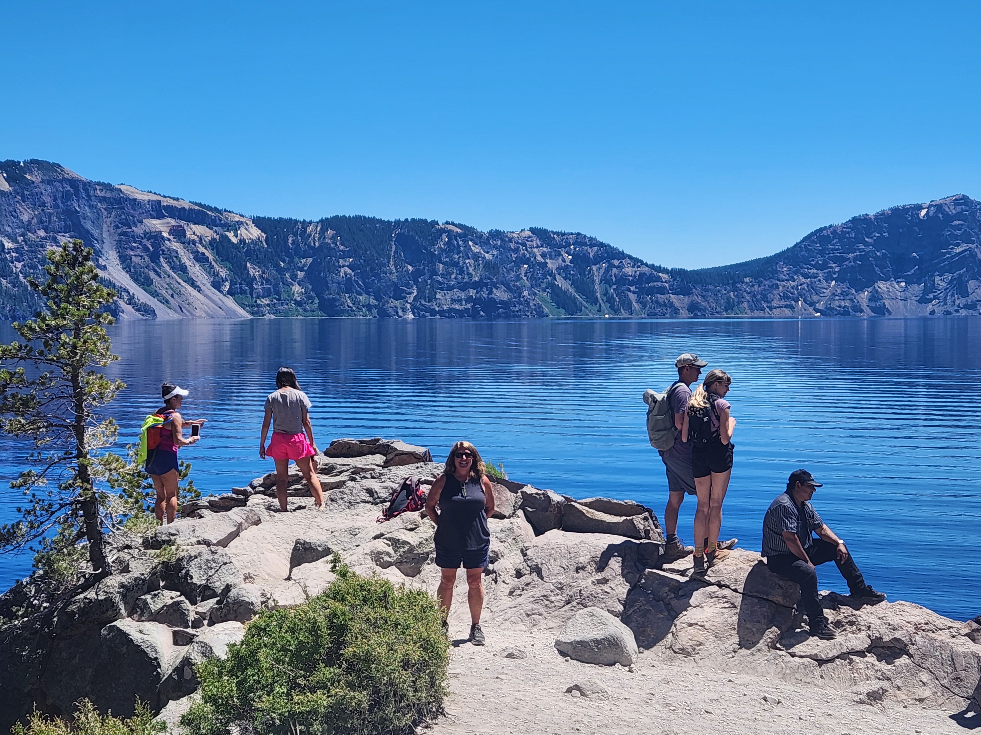
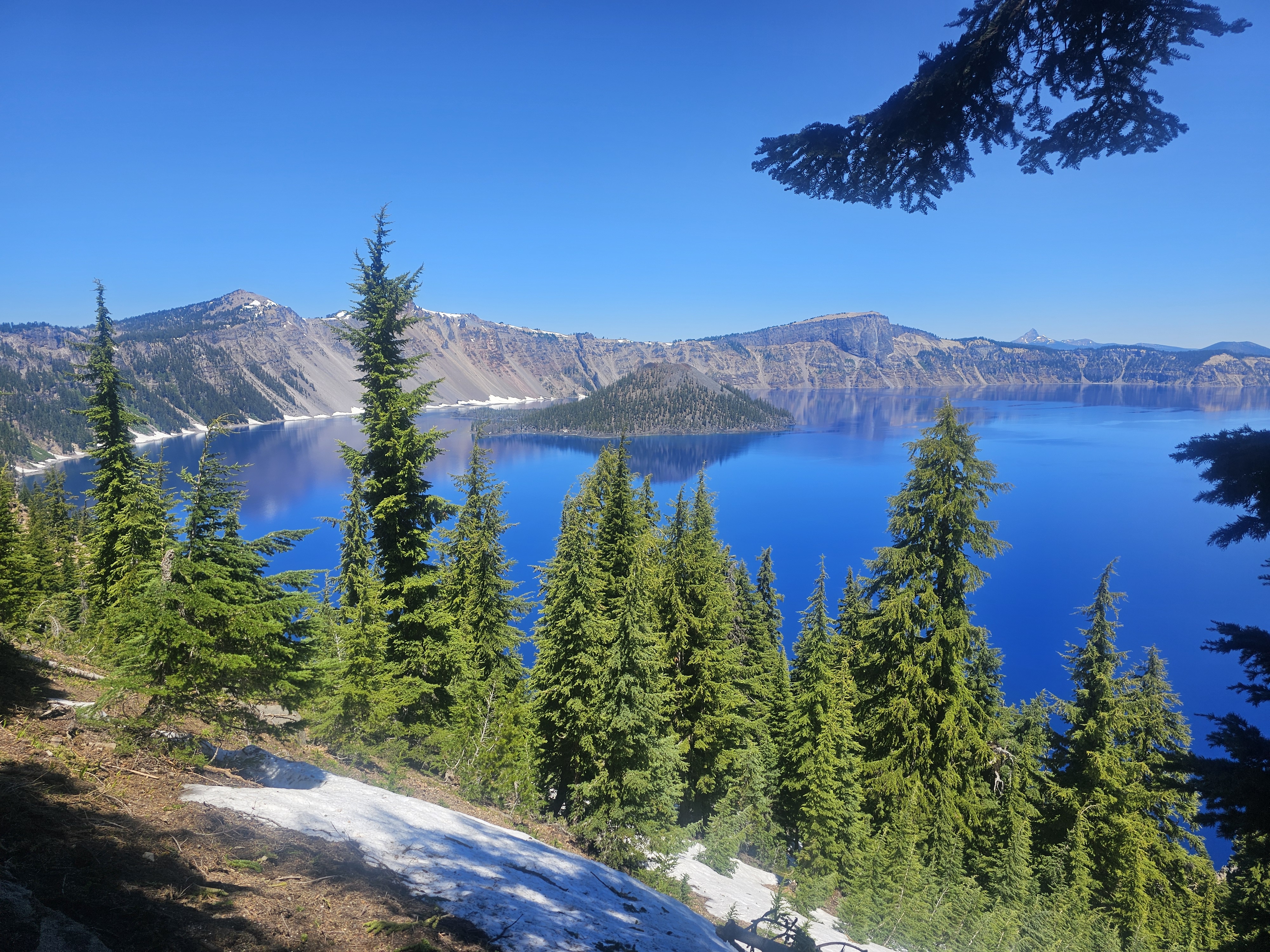
In its place is a lake so intensely blue that the first view can feel almost unreal. Steep cliffs encircle the water. Wizard Island rises from the caldera like a smaller volcano inside the remains of a much larger one. On clear days, the lake appears calm and self-contained, separated from the surrounding world by thousands of feet of volcanic stone.
Many travelers remember that first glimpse for years. Yet Crater Lake becomes even more interesting when the initial astonishment gives way to curiosity. How did a mountain become a lake? Why is the water so clear? Why does its color change from one overlook to the next? What does the caldera feel like from the shoreline, more than a thousand feet below the rim?
Those questions turn Crater Lake from a beautiful viewpoint into a place worth exploring slowly.

The Mountain That Became a Lake
Long before there was a lake, Mount Mazama rose above the southern Oregon Cascades. It was part of the same volcanic chain that includes Mount Shasta, Mount Hood, Mount Rainier, and other familiar peaks of the Pacific Northwest.
Nearly 7,700 years ago, a series of immense eruptions emptied much of the magma chamber beneath the mountain. The summit could no longer support itself and collapsed inward, leaving behind a broad caldera. What visitors see today is not a crater at the top of a surviving mountain. It is the space where much of the mountain once stood.
Over centuries, rain and snowmelt accumulated inside the basin. With no rivers flowing into or out of the lake, the water became unusually clear. At 1,943 feet deep, Crater Lake is the deepest lake in the United States, but its depth is only part of what makes it memorable. The water absorbs many colors of visible light while reflecting the shorter blue wavelengths back toward the viewer, creating the intense color that can make the lake seem almost illuminated from within.
Wizard Island offers another clue to the park’s volcanic story. The cone rose after Mount Mazama collapsed, forming during later eruptions inside the caldera. Phantom Ship, by contrast, is far older—a jagged remnant of ancient volcanic rock that survived the mountain’s destruction and now appears to drift across the water when seen from certain overlooks.
Understanding that history changes the view. The cliffs are no longer simply walls around a lake. They are the exposed interior of a volcano. The islands are not decorative details. They are pieces of a landscape that continued forming long after the mountain fell.
Rim Drive: Seeing the Caldera One Viewpoint at a Time
Crater Lake cannot be understood through a single overlook.
The first view may be the one a traveler remembers most clearly, but Rim Drive reveals how much the lake changes with elevation, angle, weather, and light. The 33-mile road circles the caldera when fully open, moving through forests, across high ridges, and past a series of pullouts where the same lake appears to become a different place.
At one stop, Wizard Island dominates the view. At another, the full sweep of the caldera becomes visible. Elsewhere, steep cliffs draw attention downward toward water that may appear almost black in shadow and brilliant blue in direct sun.
Discovery Point is one of the most accessible places to begin understanding the lake’s scale. Watchman Overlook offers a classic view toward Wizard Island, especially as afternoon light begins to move across the western side of the caldera. Cloudcap Overlook, when the road is open, reaches one of the highest vehicle-accessible viewpoints in the park and looks broadly across the lake toward distant Cascade peaks.
Phantom Ship Overlook asks for more attention. The island is small compared with the enormous basin around it, and it can be easy to miss at first. Once found, however, its pointed rock towers resemble the masts and hull of a ship moving silently across the water.

The best way to experience Rim Drive is not to think of it as a loop to complete. It is better approached as a sequence of changing perspectives. Stop often. Walk beyond the parking area when a trail or overlook allows it. Return to a favorite viewpoint later in the day and notice how the color and shadows have shifted.
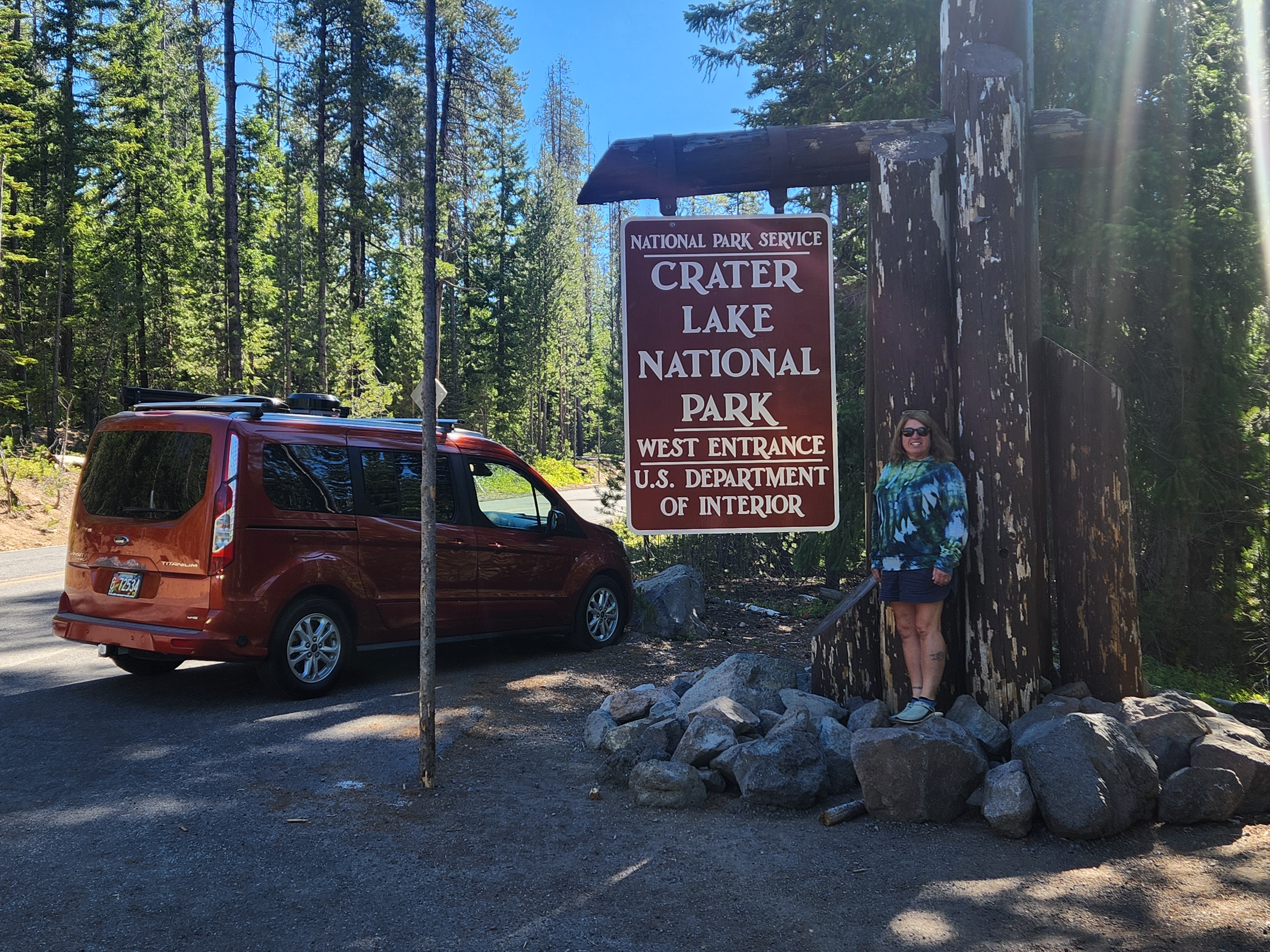
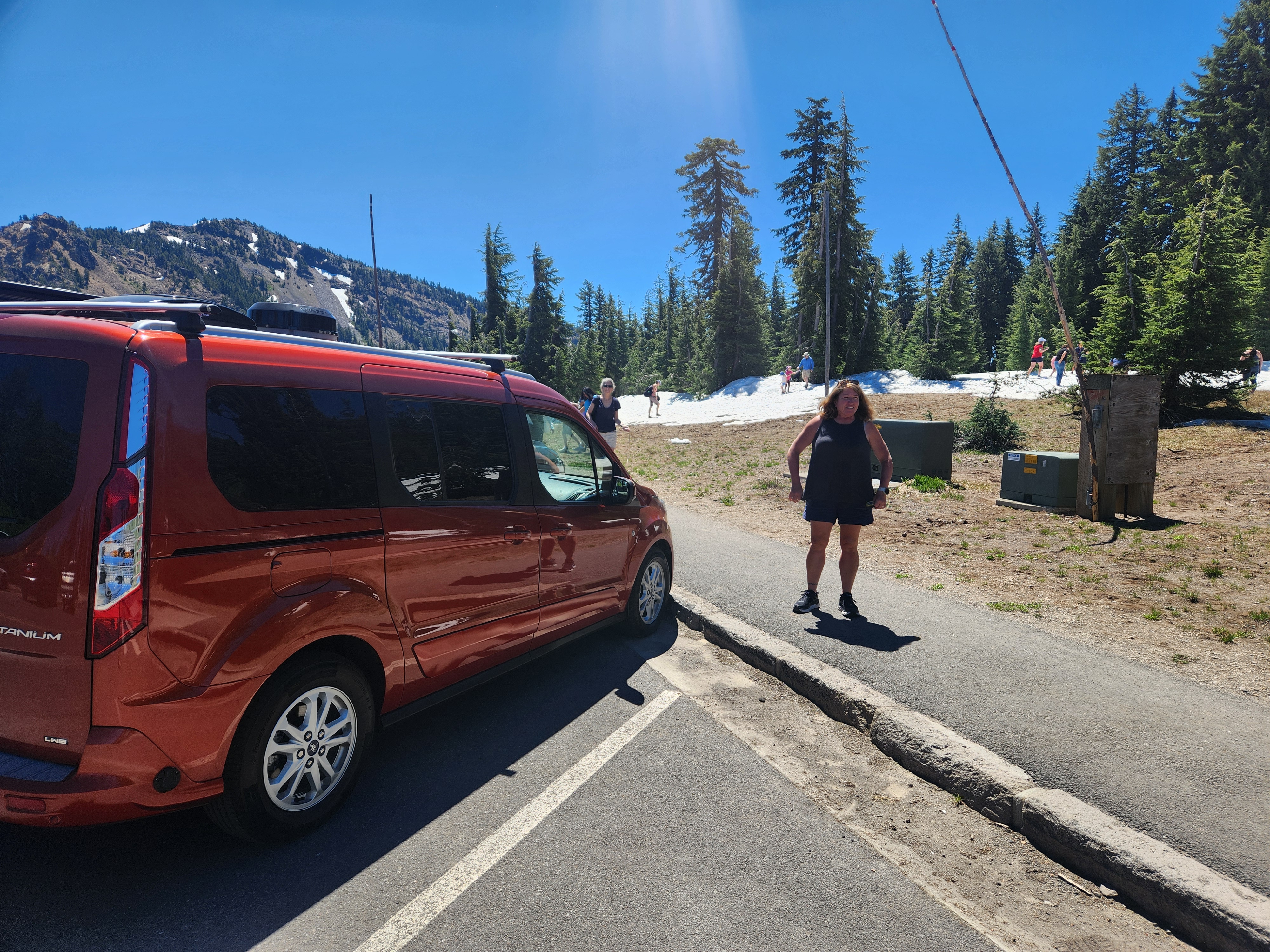
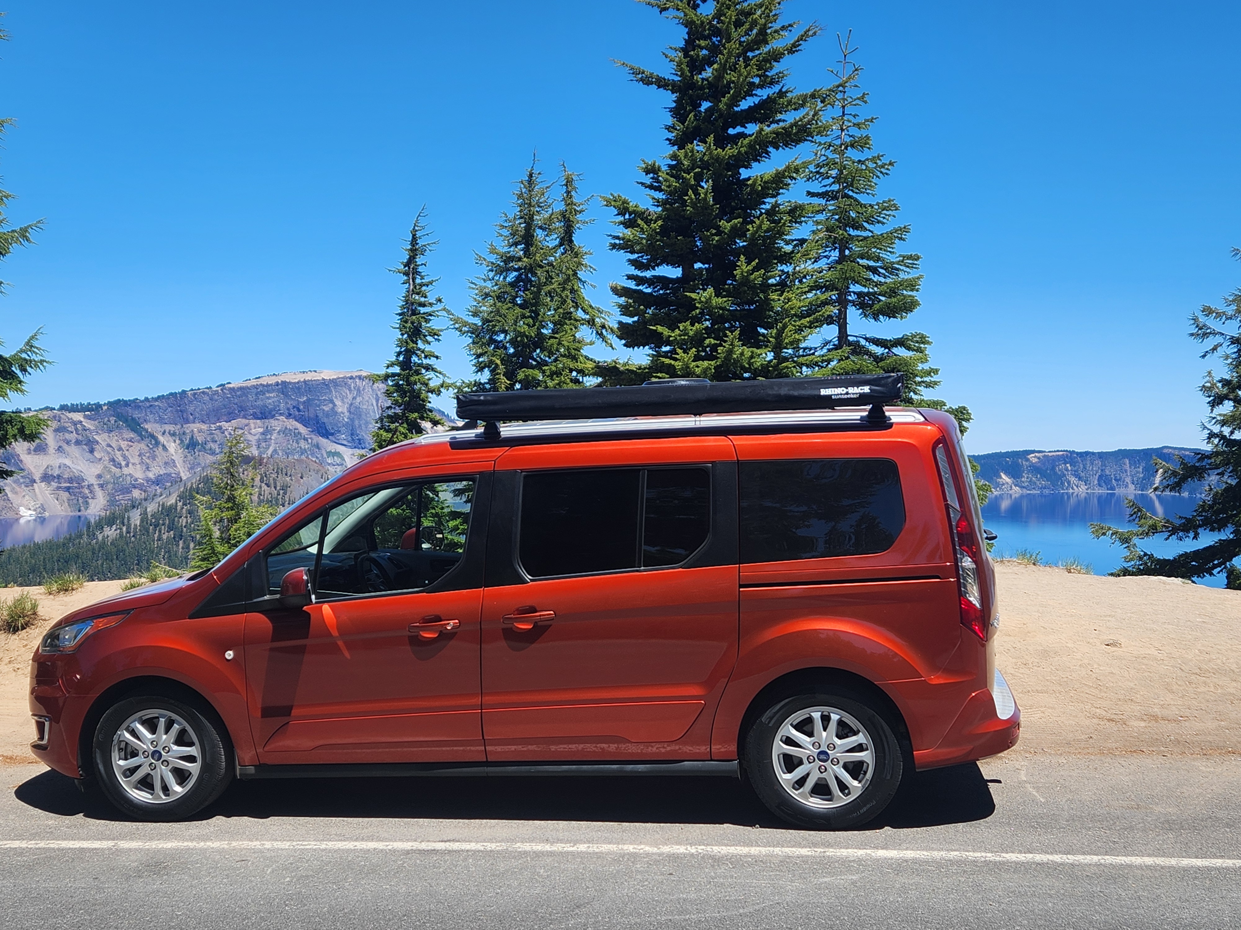
A smaller campervan fits naturally into that rhythm. Curves, elevation changes, narrow sections, and busy overlook areas can make large-RV travel feel cumbersome during peak season. A more compact vehicle makes it easier to enter pullouts, park near trailheads, and let curiosity determine the next stop.
Walking Above the Caldera
Rim Drive introduces Crater Lake, but the trails create a more personal relationship with it.
Walking even a short distance from the road changes the experience. Traffic noise fades. Wind moves through mountain hemlock and lodgepole pine. The rim appears sharper, the drop toward the water more dramatic, and the volcanic scale of the landscape becomes harder to ignore.
Garfield Peak Trail begins near Crater Lake Lodge and offers one of the park’s most rewarding combinations of distance and scenery. The approximately 3.6-mile round-trip hike climbs steadily above the rim, opening to increasingly broad views of the lake, Wizard Island, Phantom Ship, and the surrounding Cascades. The trail is not long, but elevation and exposure can make it feel more demanding than its mileage suggests.
Mount Scott Trail climbs to the highest point within Crater Lake National Park. At more than 8,900 feet, the summit provides a wider understanding of where the caldera sits within southern Oregon. Crater Lake fills the foreground, while forested ridges and distant Cascade peaks extend toward the horizon. On especially clear days, Mount Shasta may be visible far to the south.
Watchman Peak Trail offers another memorable view above the western rim. The trail climbs toward a historic fire lookout and a high perspective over Wizard Island. Late-day light can be especially beautiful here, although hikers should plan carefully enough to return before darkness if they are not prepared for a night descent.
Shorter trails reveal quieter details. Sun Notch Trail leads to an accessible view of Phantom Ship. Castle Crest Wildflower Trail passes through a high-elevation meadow that can briefly fill with summer blooms once the snow finally retreats. Even modest walks matter at Crater Lake because they separate the traveler from the road and allow the landscape to become still again.

The rim sits near 7,000 feet, and several trails climb higher. Visitors arriving from lower elevations may notice the difference quickly. A pace that feels ordinary at home can become surprisingly demanding here. Water, sun protection, layers, supportive footwear, and a willingness to slow down are more important than finishing quickly.
The Long Walk Down to the Water
Most visitors experience Crater Lake from above. Cleetwood Cove offers the only legal route to its shoreline.
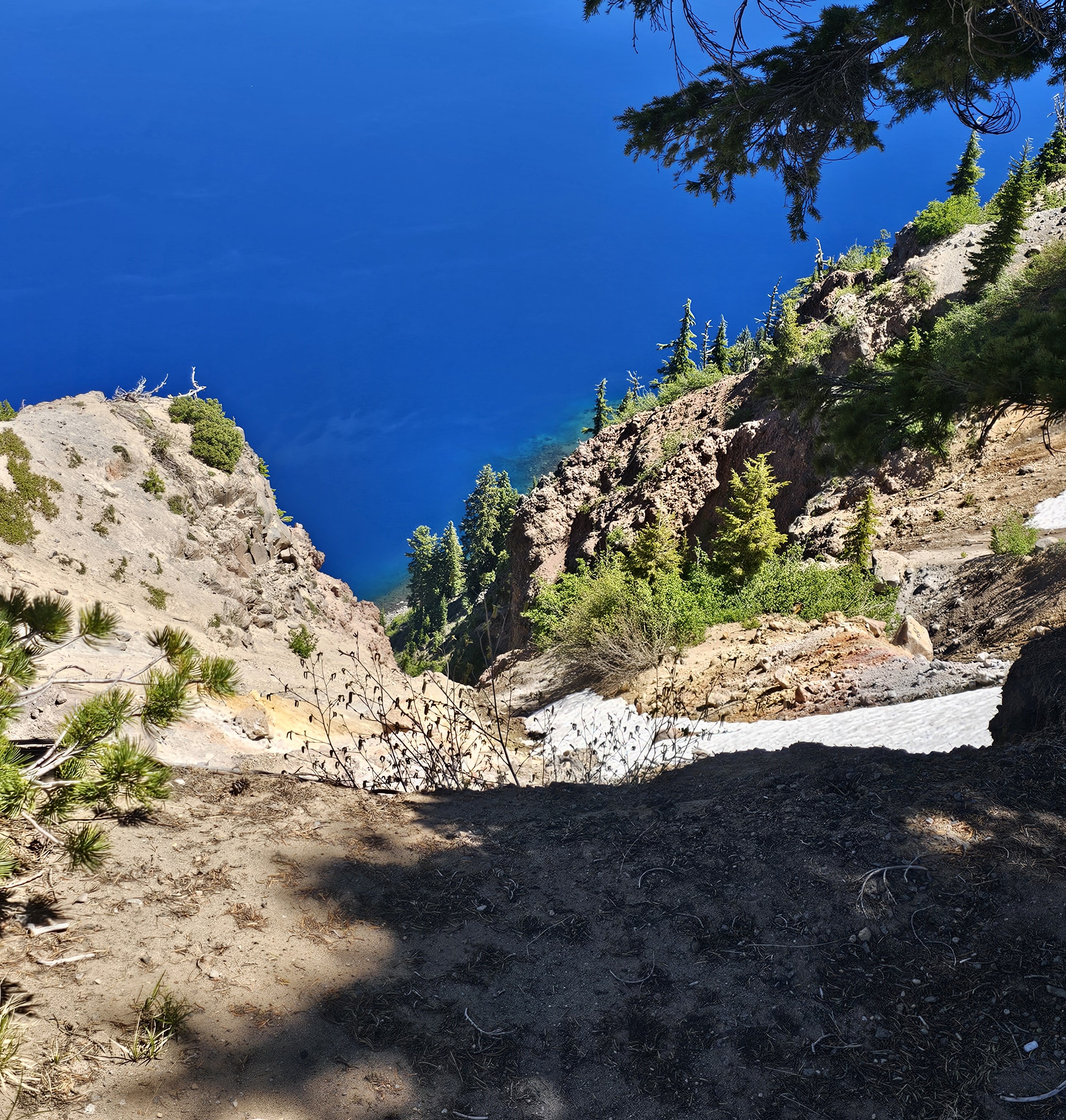
The trail descends roughly 700 feet over about 1.1 miles, dropping through forest and volcanic terrain toward a narrow section of rocky shore. Going down can feel deceptively easy. The return is the part that deserves respect. The climb is steep, exposed in places, and often warmer than the rim above.
Reaching the shoreline changes the scale of the caldera completely. From the rim, the lake can feel distant, almost like a vast image laid across the landscape. At Cleetwood Cove, the cliffs rise around the water, the blue becomes immediate, and the depth of the basin is felt rather than simply understood.
Visitors may swim from designated areas near the shore, although the water remains cold. The cove is also the departure point for seasonal boat tours. Anyone planning to descend should remember that every visit to the water ends with the same sustained climb back to the rim.
Boat Tours, Wizard Island, and the View from Below
A boat tour offers the only ordinary way to see the caldera from the water, and it changes the proportions of everything.
From above, the cliffs frame the lake. From below, they tower overhead. Layers of volcanic rock become visible along the walls, Wizard Island rises more dramatically, and the enormous depth of the collapsed mountain feels much more immediate.
Some seasonal tours include time on Wizard Island, allowing visitors to step onto the cinder cone and explore part of the volcano from within the lake itself. The experience can include hiking, fishing, and time along the island’s rocky shore, depending on the tour and current operating conditions.

Boat access depends on snowpack, trail conditions, staffing, weather, and seasonal schedules. Reservations are important when tours are operating, but the physical requirement remains the same regardless of the itinerary: every passenger must hike down and back up the Cleetwood Cove Trail.
Not every traveler needs to reach the water to understand Crater Lake. Yet for those prepared for the climb, seeing the caldera from below reveals a second park hidden beneath the one visible from the rim.
Camping Beneath the Rim
Crater Lake is often visited as a long day trip, but staying nearby changes the pace of the experience.
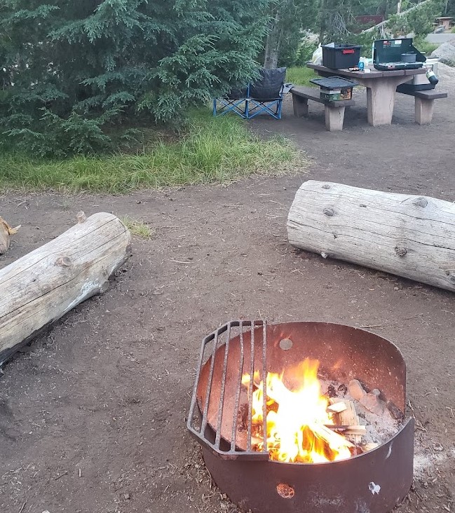
Mazama Village Campground is the primary developed campground within the park. Located below the rim among tall forest, it provides a practical base for campervans, tents, and smaller RVs during its operating season. From there, travelers can begin early, return for a midday break, or remain in the park long enough to see evening light and stars without facing a long drive afterward.
Lost Creek Campground, when open, offers a smaller and more primitive experience. Its limited services and seasonal operation make it less predictable, but its simplicity may appeal to travelers who prefer a quieter setting.
Outside the park, surrounding national forests expand the possibilities. Campgrounds in the Umpqua and Rogue River-Siskiyou National Forests can provide alternatives when park sites are full or become destinations of their own. Waterfalls, rivers, forest trails, scenic byways, and quieter campsites make it easy to build a broader southern Oregon journey around Crater Lake.

A campsite near the park becomes more than a place to sleep. It allows tomorrow to begin close to the rim. Sunrise, an early hike, a boat-tour departure, or a return to a favorite overlook no longer requires rebuilding the entire day around a distant hotel.
When Weather Changes the Lake
Crater Lake is famous for blue water, but the park is not always blue.
Clouds can erase sections of the caldera within minutes. Wind can roughen the surface. Smoke from regional wildfires may soften distant views or obscure them completely. Snowbanks can remain beside roads long after summer has arrived elsewhere in Oregon.
Those changing conditions are not interruptions to the experience. They are part of what makes each visit different.
On a clear midday, the lake may appear almost unnaturally bright. Near sunset, the western cliffs darken while Wizard Island holds the last light. Under heavy cloud, the water can turn slate gray. After a storm passes, sunlight may break through in narrow bands, illuminating only part of the caldera.
Travelers who allow more than a few hours improve their chances of seeing those changes. A view hidden in the morning may be completely open by afternoon. An overlook that seemed ordinary at noon may become unforgettable near sunset.

Summer does not eliminate mountain weather. Temperatures can fall quickly after sunset, and strong sun at high elevation can feel intense even when the air remains cool. Layers, rain protection, water, downloaded maps, and current road information belong in every plan.
Wildlife Beyond the Water
The lake naturally commands attention, but Crater Lake National Park protects a much broader high-country ecosystem.
Mule deer often appear near roads, meadows, and forest edges. Clark’s nutcrackers, ravens, Steller’s jays, and other mountain birds move through overlooks and picnic areas. Marmots, squirrels, and chipmunks inhabit rocky slopes and forest openings.
Black bears also live in the region, even if most visitors never see one. Food, trash, coolers, and scented items should remain secured, particularly at campgrounds and trailheads. Feeding wildlife changes animal behavior and can quickly turn an ordinary encounter into a dangerous one.
The forests themselves change with elevation. Lodgepole pine, mountain hemlock, fir, open pumice flats, and short-lived wildflower meadows reflect a landscape shaped by deep winter snow and a compressed growing season. Life at Crater Lake has adapted not simply to altitude, but to months of cold, wind, and burial beneath snow.
Night Above the Caldera
After sunset, Crater Lake becomes quieter than many daytime visitors ever experience.
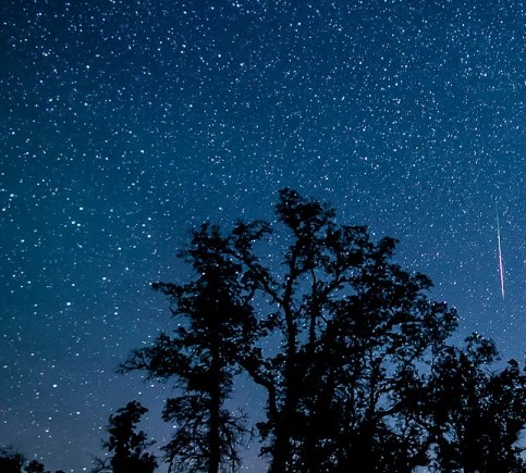
The tour buses leave. Traffic thins. The lake loses its color and becomes a dark absence inside the caldera. Above it, stars emerge over the rim and surrounding forest.
The park’s elevation and distance from major cities can create excellent night-sky viewing when skies are clear. The Milky Way may stretch above the basin, while the silhouettes of ridges and trees give the darkness a scale that photographs rarely capture.
A campervan makes these hours easier to enjoy. Warm clothing, food, camera equipment, and a comfortable place to rest remain nearby. There is no need to choose between staying for the stars and facing a long drive back to lodging.
Even during summer, nighttime temperatures can fall sharply. A flashlight, extra layers, awareness of wildlife, and caution on dark mountain roads are essential. The reward is a version of Crater Lake that feels almost entirely separate from the busy overlooks of midday.
Crater Lake as a Basecamp for Southern Oregon
Crater Lake can easily stand alone as a destination, but the surrounding region gives travelers many reasons not to hurry away.
The Volcanic Legacy Scenic Byway connects Crater Lake with other volcanic landscapes in southern Oregon and northern California. To the north and west, the Umpqua National Forest leads toward rivers, hot springs, waterfalls, and forest campgrounds. The Rogue River region offers additional scenic drives, recreation, and small-town stops. Farther south, the road can continue toward Mount Shasta and the volcanic country of northern California.
Travelers heading west can eventually connect Crater Lake with the Oregon Coast, creating a journey from high Cascades and lingering snow to sea cliffs, beaches, and coastal forests. The contrast is part of what makes Oregon so rewarding by road.

Using a nearby campground as a basecamp allows each direction to become a new day’s exploration rather than another destination that must be checked off quickly. Crater Lake may anchor the trip, but waterfalls, forest roads, rivers, and mountain communities often become the unexpected stories remembered alongside it.
When to Visit Crater Lake
The most accessible season usually falls between late June and early October, but Crater Lake follows the mountain’s calendar rather than the one on the wall.
Snow can linger deep into summer. Rim Drive often opens in stages, and a year with heavy snowfall may delay full access longer than first-time visitors expect. Trails, campgrounds, boat tours, lodging, and seasonal services may all begin operating at different times.
July through September generally offers the best chance of open roads and trails, but even then, smoke, storms, construction, and changing conditions can affect plans. Early fall may bring crisp air, lighter crowds, and clear views, while also carrying the possibility of the season’s first snow.
Winter transforms the park entirely. Most roads and facilities close, snowfall becomes extraordinary, and travel shifts toward snowshoeing, cross-country skiing, and limited viewpoints near the south entrance. It can be beautiful, but it is a different kind of trip requiring winter preparation and careful attention to park conditions.
Before arriving, travelers should check current road openings, campground status, trail conditions, weather, air quality, and boat-tour availability. Cell service is limited, so maps and essential information should be downloaded in advance.

Why Crater Lake Rewards the Unhurried Traveler
Crater Lake is easy to see and difficult to fully understand.
A traveler can arrive at the rim, take a photograph, and leave knowing they have witnessed one of America’s great natural wonders. But the deeper experience comes later: after the lake has been viewed from several sides, after a trail has climbed above the road, after the cliffs have been seen from below, or after evening light has changed the water into something entirely different.
That is why the park rewards time.
The first view provides astonishment. The rest of the visit provides meaning.
Traveling by campervan makes it easier to stay close enough for both. Food, layers, hiking gear, and a comfortable place to rest remain nearby. Plans can shift with weather, visibility, and energy. A favorite overlook can be revisited without turning the day into a complicated series of reservations and long drives.
The campervan does not need to become the center of the story. Its role is quieter. It removes enough small obstacles that a sunrise, a late walk, a second drive around the rim, or an unplanned night beneath the stars becomes easier to say yes to.
Crater Lake remains the part that stays with you.
It is the missing mountain, the impossible blue, the volcanic cliffs, and the moment the trees open beside the road and reveal a landscape that does not seem as though it should exist.
Explore Crater Lake in a Mini-T Campervan
A Mini-T Campervan makes it easier to follow scenic roads, stop at high-country overlooks, camp near the places you want to explore, and adjust each day around changing mountain conditions. Its manageable size, comfortable driving experience, efficient footprint, and off-grid capability allow the destination to remain the focus of the journey.
DLM-Distribution / Campervans is a licensed manufacturer and dealer located in Lake Crystal, Minnesota, serving clients around the country.
Contact Dave: 651-285-7089 or Candy: 507-382-9446 today!